Wisconsin Regional Orthoimagery Consortium
2021 Engineering Excellence Best of State

![]()
Entering Firm: Ayres Associates Inc.
Client: North Central Wisconsin Regional Planning Commission
Surveying information is one of the first things needed when starting an engineering project. Clients make decisions based on available imagery and elevation data. Unfortunately, not every community can afford to produce such data by themselves.
A Statewide Effort
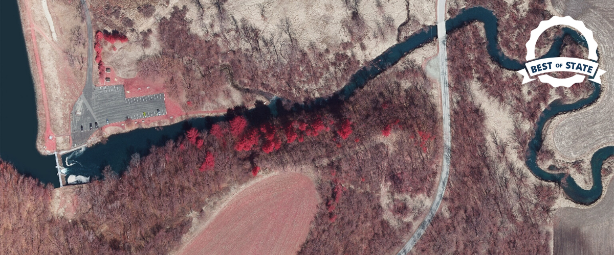
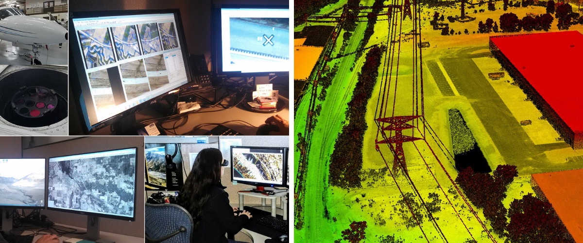
Ayres Associates manages the Wisconsin Regional Orthoimagery Consortium (WROC). This group aspires to provide high quality orthoimagery (also known as aerial photography) and elevation data throughout the state. More than 100 county and municipal entities, alongside other government and tribal partners work together to pool their data and provide a comprehensive database of information. This database cover 56,000 squares miles. Cooperation saves time, prevents duplication of effort, and gives smaller communities access to this important information. This data can be used for a staggering number of things – floodplain delineation, forest management and even a better 911 system.
Importance of Advanced Technology
Improved technology provides more accurate information. For the first time, the entire state has been mapped at a 12-inch level. This accuracy allows WROC participants to customize the data to fit their needs. The Ayres team provides support, oversight, and technical expertise to keep the project moving. And in a year of uncertainty the team pushed state government to allow continued work on this project which delivered results within the year.
Awards judge Molly Gribb said “The WROC is a great example of how effective collaboration between public and private entities can lead to superior outcomes at a lower cost."
A New Way to Look at Wisconsin
The data collected by WROC is essential for things like building a park or zoning a town. Even though the work is not in the public eye, everyone benefits from the information gathered through extensive cooperation.

